How to Use NOAA Weather & Ocean Data to Catch More Fish
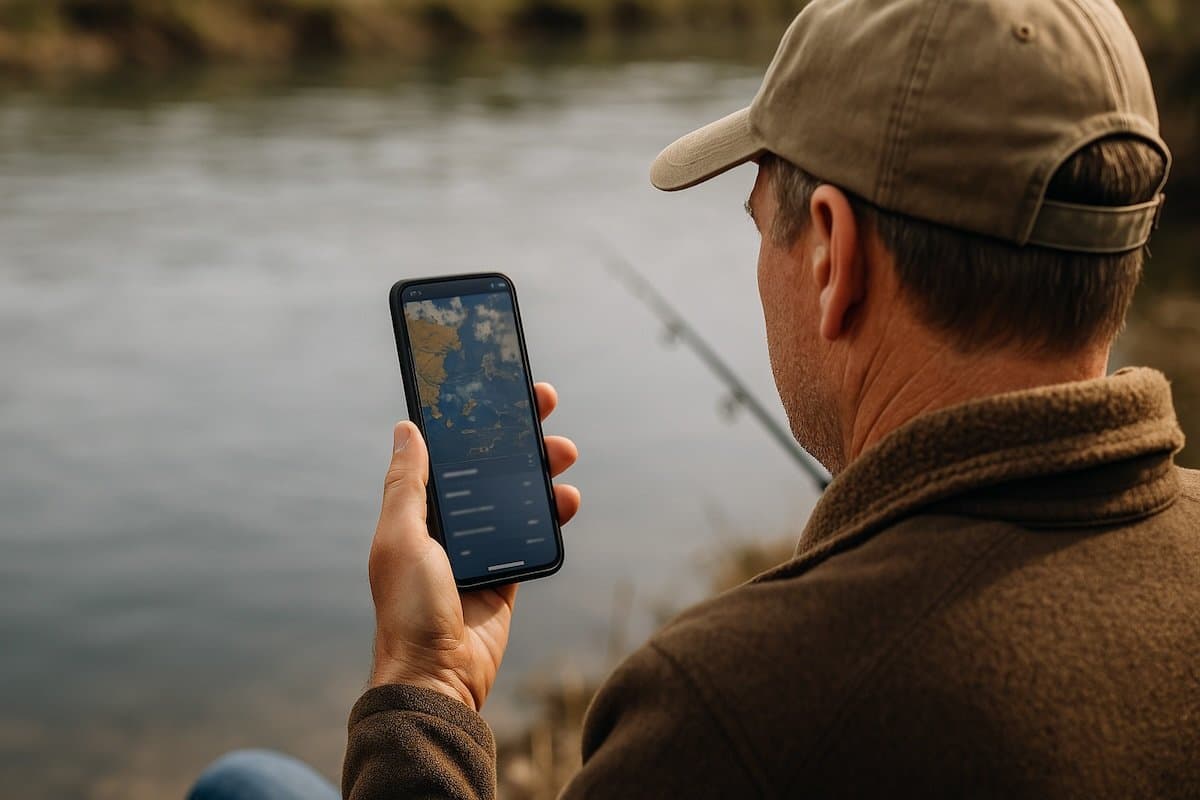
Most fishermen trust their gut. Some trust their buddy’s gut. And then there’s NOAA—the National Oceanic and Atmospheric Administration—which, if we’re honest, most of us barely think about outside of hurricane season.
But buried in all that satellite-fed, alphabet soup of data are clues. Clues that could’ve told you the trout weren’t going to bite today, no matter how many shrimp you fed them. Or that if you’d just waited for the tide to turn and the wind to slack off, those redfish would’ve moved into casting range like clockwork.
So no, NOAA doesn’t sell lures. But their data might help you pick the right one. Let’s talk about how to use that data in a way that actually makes sense out on the water—without needing a degree in fishing meteorology—plus, we’ll talk about one of the best fishing apps that can help you track all this stuff for free.
How To Use Weather & Conditions for Better Fishing Trips
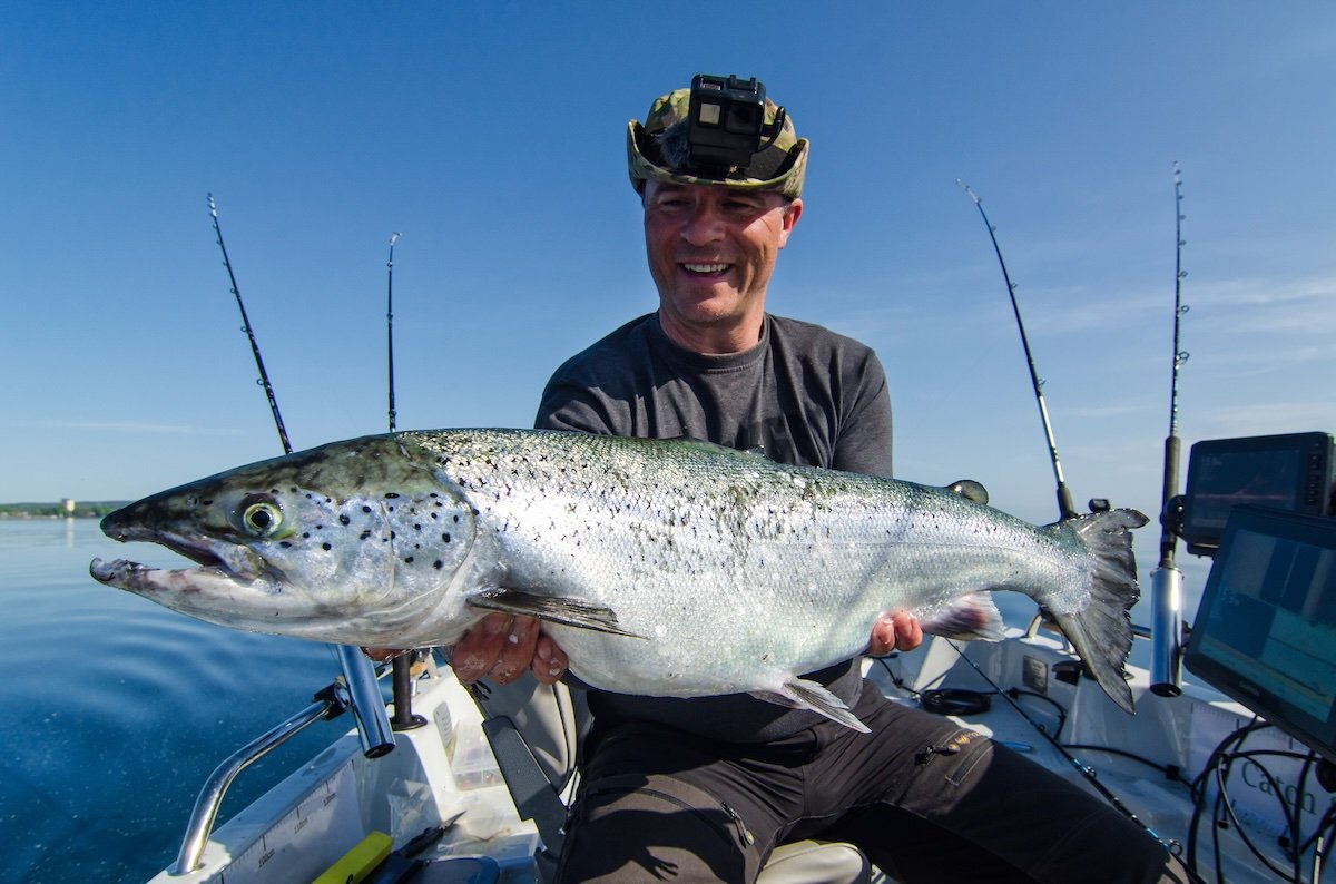
Most guys who’ve been on the water a while already know fish don’t move at random. They feed and stage based on the conditions—tide, pressure, temperature, moon, wind. You feel it over time, even if you’re not checking a chart every trip. What NOAA’s scientific data does is give you a way to confirm those instincts, spot the outliers, and tighten the pattern faster.
NOAA’s real value to fishermen is this: it tracks all of that stuff live—hour by hour, zone by zone.
- Tides: Precise predictions on rise, fall, slack, and surge, tied to specific locations. Critical for knowing when fish will move onto or off structure.
- Wind: Current and forecasted direction and speed, which affect drift, casting, bait movement, and where fish stack up on windblown or protected edges.
- Barometric Pressure: Rising pressure often shuts fish down, and falling pressure—especially before a front—can trigger aggressive feeding. NOAA tracks these shifts in real time.
- Water Temperature: Surface temps and subsurface trends help you pinpoint active zones—especially important during seasonal transitions or after a cold snap.
- Moon Phase: Influences both tides and feeding behavior. Full and new moons amplify tidal swing, which can fire up bites in certain windows.
- Currents & Sea Surface Conditions: Essential for offshore planning. NOAA satellite and buoy data provide real-time insight into current direction, speed, and wave height, helping you target rips, eddies, and thermal breaks.
How You Can Actually Use It
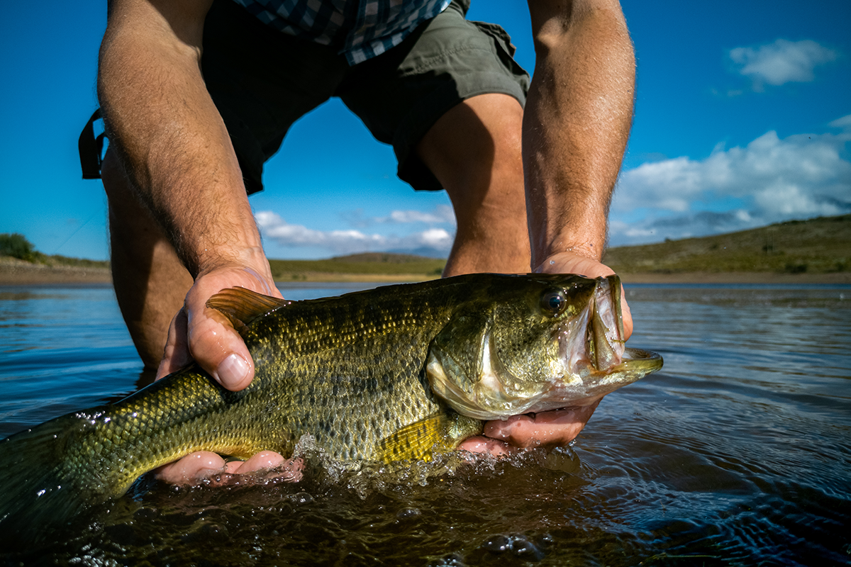
Let’s make this practical. You don’t need to camp out on NOAA’s website. You just need to check a few key things before you hitch the boat or load the kayak:
- Check the Tide Charts (Then Think About Structure)
If high tide’s at 7:45 a.m. with a big push behind it, think about where bait will get flushed. Points, mouths of creeks, grass edges—these are ambush spots. Low tide around noon? Maybe now it’s dock pilings or deeper troughs off the flats.
NOAA’s tide predictions are hyperlocal. Use them. And start watching how the fish you target respond. Over time, you’ll stop guessing and start predicting. - Watch the Pressure
You ever get out and it just feels “dead?” Bluebird skies, no bite? Barometric pressure’s likely on the rise. A falling barometer—especially ahead of a front—gets fish fired up. NOAA gives you hourly pressure trends. You don’t need to memorize them. Just glance at it and start noticing what kind of bite follows what kind of pressure. It’s not voodoo—it’s physics. - Wind Direction Tells You Where To Fish
Wind doesn’t just make casting harder. It pushes water. Which pushes bait. Which pushes fish. A steady southeast wind for three days? Look on the leeward side of islands and marsh points—those baitfish are getting herded. NOAA’s wind forecasts help you plan where to launch, where to drift, and where the water’s likely moving right now. - Water Temp Isn’t Just for Swimmers
Water temps can make or break your trip. Specks might stage shallow in 68–72°F, but move deep again when a cold snap rolls in. Reds stay active in a wider range, but even they get sluggish if it drops fast. NOAA’s sea surface temps let you avoid wasting time in dead zones. Check ‘em before you go. Or learn the hard way when you haven’t seen a tail all morning. - Moon Phase = Feeding Phase
Say what you want, but full moons and new moons do something to the water. Stronger tides, more bait movement, longer active periods at dawn and dusk. Use NOAA’s lunar data to time your trips. You don’t need to fish by the moon, but if you’re showing up two hours after a major feeding window, you’re late. And the fish are already full.
The good news is, you don’t have to pull all that together yourself. The fishing app Log.Fish will pull NOAA data for you—automatically. You snap a photo of a catch, and it tags the tide, pressure, temp, moon, wind, and more without you lifting a finger. You don’t even have to open the NOAA site. Over time, that builds a searchable log of when, where, and why the bite was good.
If you’re the kind of fisherman who already watches the conditions, Log.Fish helps lock that info in. If you’re just starting to pay closer attention, it shows you what to look for. Either way, it’s a clean, private way to connect the dots without making fishing feel like homework.
You can keep it simple. Just log a few catches and glance back when things aren’t lining up. That can be enough to figure out what’s missing—or what’s about to happen.
Putting It All Together
Say you fished a mangrove shoreline last March, caught a limit of snook on the outgoing tide just after a pressure drop. Water temp was 70. Wind was light out of the west. What did you learn?
Answer: if you remembered all that, you’d be dangerous. But you probably didn’t.
That’s where the real magic happens when you combine NOAA data with a good fish logger tool.
The phone app Log.Fish pulls NOAA data behind the scenes when you snap a pic of your catch. But even if you’re doing it the old-school way—with a notebook, a tide chart, and a screenshot or two—just having the NOAA site bookmarked or loading it up on your phone before a trip puts you ahead of half the folks out there winging it.
You don’t need a decked-out flats boat with a tower, or sonar that costs more than your truck. You just need to know when and where the fish are most likely to show up. You don’t even necessarily have to change how you fish. You just need to know what you’re fishing into. Tide, temp, pressure, wind—It’ll help you stop chasing ghosts, and start putting the pieces together. Keeping a fishing log can help you with that.

Every good fisherman has a few things that give them an edge. For some, it’s local knowledge. For others, it’s decades of memory. For the rest of us, there’s NOAA data—sitting there quietly logging the conditions every day, waiting for you to take a peek.
Start checking. Start comparing. Start noticing.
Because you can’t control what the fish do. But you can show up when the odds are already stacked in your favor.